
Established 12 years ago, Visual Perspectives continue to evolve and deliver reliable thermal imaging, drone inspection, 3D and measured surveys for your building projects…Nationwide.
For architects, project managers, building surveyors, property professionals, housing associations or building contractors working on complex projects or large portfolios. Our surveyors work across the UK to provide fast, reliable, and accurate data.
Visual Perspectives specialise in providing tailored site surveys from a single building to large property estates, giving managers a live photographic/thermal imaging record to help streamline maintenance schedules, quickly, precise and with detailed analysis.


Solar Panel Cleaning
Dirty panels reduce performance, energy yield, and financial return. Our professional cleaning service restores efficiency safely and effectively.
Read More
Solar Panel Thermal Imaging Inspections
Investing in solar power is a smart move for sustainability and long-term savings. But what about the
foundation supporting your solar panels?

Building Defect Thermography
Saving surveyors and asset managers time and money in quickly diagnosing building defects such as roof condition, heatloss, damp, electrical, cavity wall, new build and retrofits.
Read More
Domestic & Housing Stock Surveys
Thermal Imaging Housing Stock Surveying is the most effective method of identifying asset common housing defects such as Damp Issues, Cold Bridging, Continuity of Insulation and Cold Air Ingress. There is really no other technology or approach that is as effective without some form of intrusive inspection.
Read More
Electrical Predictive Maintenance
Electrical inspections can often be slow and only carried out during downtime or when a failure occurs. Many insurance companies now insist on an annual thermal inspection for compliance. Visual Perspectives can provide a cost-effective solution whereby we provide a suitable report and information to allow electricians and engineers to carry out repairs.
Read More
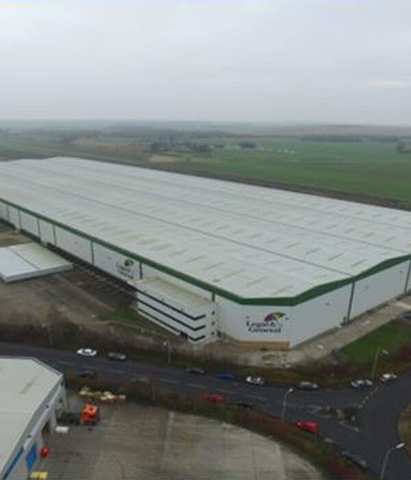
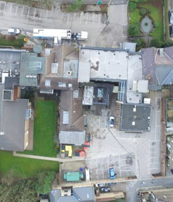
Drone Building Inspection
Drone inspections offer significant cost savings when compared with traditional methods of access when undertaking condition surveys on all types of commercial, industrial, residential and historic buildings.
Read MoreABOUT US
Commercial and Domestic Building Defect Inspection Professionals
Visual Perspectives Ltd is a UK Business based in Lancashire. We use Unmanned Aerial System (UAS) Technology alongside latest professional thermal imaging and visual camera equipment to bring you high resolution inspection and photography solutions at a price that makes economic sense to you and your company.
A variety of packages and solutions designed to find building anomalies quick and cost effectively by taking the guess work out of your projects. With thermal we show you what the naked eye can’t see. Aerial inspection provides access to inaccessible areas with high level of detail and the 360 tours complete out survey triangle with 3D immersive spaces, useful for many situations when you need remote access such as site inspections, real estate, FM and training.
Our team cover all of the British Isles and collectively have a vast about of knowledge and experience so rest assured you will be in good hands with any of our services.
Ray Langford
Director/Chief Pilot
Want to Know More?
CALL US TODAY


Facts and Digits
More About Us
90
80
70
70
Our Services
Services we provide
Openspace & Matterport 3D Tours
IRT Surveys

Building Inspection
Site & Building Mapping
Case Study Portfolio
Recent Case Studies

RAAC Assessments

Single Ply Inspection

Metal Profile Roof
Commercial Roofing
Varied Roof Type

EWI Tower Block Failure
VISUAL PERSPECTIVES
Why Choose Us?
We guarantee the highest quality service delivery in thermographic and building inspections. Our expertise and experience over the last 12 years is valuable as we have surveyed most types of defects in all type of buildings.
We have evolved over the years and believe drone surveys are the future of visual inspection. As leading specialists in our industry, Visual Perspectives understand the many risks and limitations of conventional aerial inspections, roof inspections and land surveys. That’s why Visual Perspectives employ the use of high performance, industrial specification drones and thermal imaging cameras to undertake these challenging surveys, in the most efficient and economical way possible.


